NATURAL RESOURCES Planning: MARINE

GCMP Backyard Buoys Project

Learn more about the Southern Guam Backyard Buoys Project

Marine Resources

GCMP works hard to protect Guam's Marine Resources

Guam Seashore Reserve Plan

Learn about the ongoing development of the Guam Seashore Reserve Plan.

Learn more about GCMP Marine Planning

The Guam Coastal Management Program is responsible for marine planning within the Government of Guam’s Bureau of Statistics and Plans. This program is focused on the responsible and balanced use of coastal resources, demonstrates a strong commitment to sustainable ocean management, and aims to build trust among stakeholders.
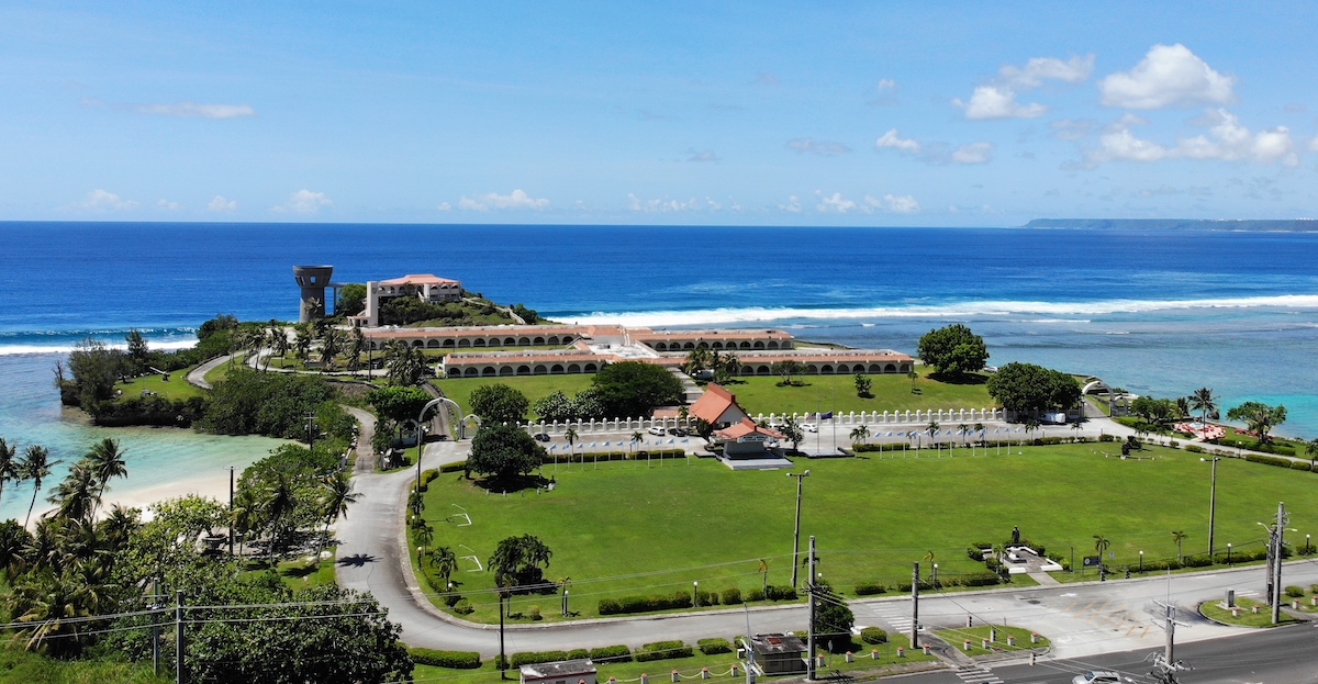
Within the Marine Conservation District, GCMP focuses on developing management plans for marine and marine-adjacent areas and assessing the biological and natural resource impacts for Federal Consistency and land-use application reviews. Additionally, advancing marine technology is a priority, particularly for the management, conservation, preservation, and socio-economic utilization of coastal resources.
Guam Seashore Reserve Plan
In 1974, Guam’s 12th Legislature passed P.L. 12-108, the Guam Territorial Seashore Protection Act. This Act created the Seashore Reserve and required a Seashore Reserve Plan to protect, preserve, and manage this resource. The purpose of the Plan is to implement the Act to preserve and protect the Seashore Reserve for current and future generations. Development within the Reserve should be minimized. When it cannot be avoided, the Plan offers guidelines and outlines permit requirements for such development.
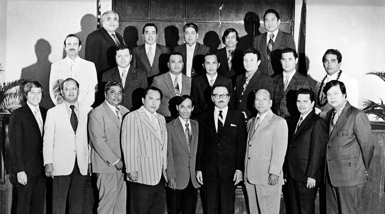
Members of the 12th Guam Legislature.
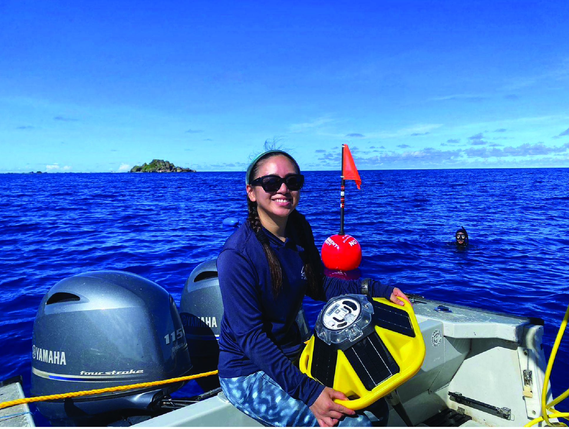
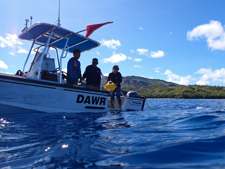


Backyard Bouys Project
The Backyard Buoys project enables Indigenous and coastal communities to manage their ocean data through affordable, community-operated buoys independently. By providing accessible web-based applications, Backyard Buoys combines advanced technology with Indigenous knowledge to support maritime activities, food security, and coastal hazard protection. Its goal is to foster self-reliant, sustainable communities that understand and safeguard their environment for a resilient future.
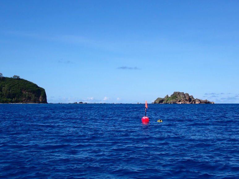
As part of the Backyard Buoys project, GCMP received two Sofar Ocean Spotter buoys from the Pacific Islands Ocean Observing System (PacIOOS) to deploy in Guam to gather nearshore ocean and wave data for the community. The two Spotter buoys were deployed in southern Guam – one between Anae Island and Facpi Point in Hågat, and the other near Mamaon Channel in Malesso’.
 
Note: Both buoys are presently out of service, and GCMP is actively working to deploy replacement units to ensure continuous data collection for the community.
GCMP played a crucial role in fulfilling a mandate of Guam P.L. 36-108, which was signed into law on September 29, 2022, by creating suitability guidelines for cable landings on Guam and a corresponding GIS WebTool. This legislation grants the Chamorro Land Trust Commission the authority to enter into commercial submerged land license agreements with telecommunication companies. The suitability guidelines provide a structure for siting cable landing sites on Guam that factor in key marine resources.
Below you will find the “Submerged Cable Landing Guidelines.”

Coral Reef Fish Population Assessment
The Bureau of Statistics and Plans’ Guam Coastal Management Program provided contractual support to the Guam Department of Agriculture through the NOAA Office for Coastal Management Cooperative Agreement NA21NOS4190154 for the preparation of a fisheries population assessment for Guam coral-reef fishes, which will inform the development of the Guam Coastal Fisheries Management Plan.


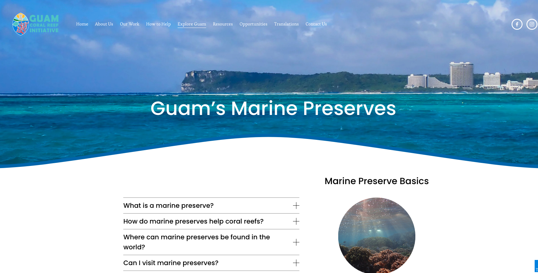
For more information on Guam Marine Preserves and Fishing Laws, please visit our network agency partner’s website at the Guam Coral Reef Initiative, under the Guam Department of Agriculture.
 

GET TO KNOW US

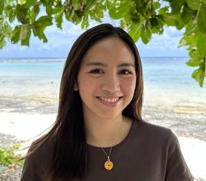
Camille Quichocho

Biologist, Guam Coastal Management Program

Camille is passionate para i tasi. She grew up in and around the ocean. As any islander knows inherently, Camille has a healthy fear and respect of the blue expanse that surrounds our shores. She strives to protect the ocean and safeguard its plants and animals, especially those who call the coral reef home. After learning to swim at 16, the ocean has become Camille’s laboratory. Camille joined the Bureau of Statistics and Plans, Guam Coastal Management Program in January 2024, where she serves as the Lead Biologist for the Marine Conservation District. Her background is in agriculture and natural resource science, and her work experiences range from marine ecology to natural resource management. Camille manages the Guam Seashore Reserve Plan and Recreational Water-Use Management Plan (RWUMP), and contributes to the Guam Aquaculture Task Force, Mariana Islands Area Contingency Plan Committee, Application Review Committee/Territorial Seashore Protection Committee, and USACE Regulatory.
camille.quichocho@bsp.guam.gov.    |  671-475-9664

Contact Us

management and staff

divisions

find us

questions comments or suggestions

© 2024 BSP WEBSITE        TERM OF USE        SITE MAP

This Website is the Official Website for the Bureau of Statistics and Plans.
This website was developed by the staff of the Bureau of Statistics and Plans and has been tested for accessibility using WAVE. (wave.webaim.org).
Disclaimer: GovGuam is not responsible for accessibility in third party applications.

Some BSP.Guam.Gov is links, downloads and embedded content are temporarily unavailable

Website Restoration Update

As part of a recent global cyber incident targeting cPanel-hosted servers, bsp.guam.gov was among the millions of domains compromised worldwide. Unfortunately most file downloads and embedded content hosted with the site could not be restored.

The Bureau of Statistics and Plans is currently restoring our site and securely re-uploading all files, data sets, and media—including vital public materials and reports e.g. for the Guahan 2050 Sustainability Plan—that were linked prior to the attack.

We anticipate the full restoration of the website to be completed in a months time. More recently published files will be prioritized and will be available in a shorter time frame.  We appreciate your patience and understanding as we work toward full restoration of BSP’s extensive digital repository of reports, plans, and data.